Permanent Orienteering Courses
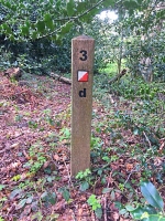
Permanent Orienteering Courses, marked with special posts or plaques, are a great way to try orienteering for the first time or to have a training run. Shorter courses are an enjoyable family-friendly activity suitable for beginners. Longer and more technical courses offer both a physical and a mental challenge. HOC offers 13 permanent courses throughout our area, most of which are open all year round.
This great video from the Orienteering Foundation has some useful tips for getting the best experience from a permanent orienteering course.
Use the map to find a Harlequins course near you, or read British Orienteering’s advice and links to courses nationwide.
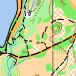
Country Park with 900 acres and a mixture of open land and dense woods. 8 maps offering courses of varying length and difficulty; all are GPS enabled. The River Arrow flows through it. The lakeside Arrow Valley Visitor Centre has a café with views across the water and toilets. The park also offers a BMX facility, disc golf, sailing and fishing.
Full details and map downloads are held on the Go Orienteering website.
Maps are also available from the Arrow Valley Visitor Centre.
![]() A mile long sandy ridge with 6 maps offering courses of varying length and difficulty.
A mile long sandy ridge with 6 maps offering courses of varying length and difficulty.
Full details and map downloads are held on the Go Orienteering website.
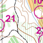 Lovely area of mixed woodland. The map shows all the posts with 3 suggested courses of varying length and difficulty. Alternatively plot your own course or to see how long it takes to find them all. One word of caution – the brambles can be fearsome in parts of this wood during the warmer months. You may wish to wait until they have died down to visit some of the posts!
Full details and map downloads are held on the Go Orienteering website.
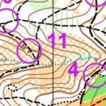 Prominent hill with mixed open areas and woodland. Extensive path network and a mixture of control sites to suit most levels of experience. Cafe and toilets on site. Maps are available from the cafe at Nimmings car park.
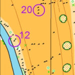 National trust site with parkland surrounding Croome Court designed by ‘Capability’ Brown’.
Full details and map downloads are held on the Go Orienteering website.
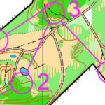
Reclaimed industrial land turned nature reserve. 5 maps offering courses of varying length and dificulty.
Full details and map downloads are held on the Go Orienteering website.
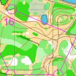
Reclaimed industrial land turned nature reserve. 8 maps offering courses of varying length and difficulty.
Full details and map downloads are held on the Go Orienteering website.
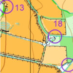
Large country park with mixed open and densely wooded areas. Map shows all the posts and has some suggested courses of varying length and difficulty.
Full details and map downloads are held on the Go Orienteering website.
Printed maps may be available to purchase from Sandwell Park Farm Visitor Centre. Tel: 0121 5532147
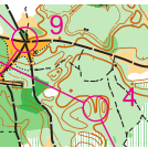
Old sand quarry converted to nature reserve. A compact area with complex contours and extensive path network. 5 maps offering courses of varying length and difficulty. The two shorter, harder courses are GPS enabled.
Full details and map downloads are held on the Go Orienteering website.
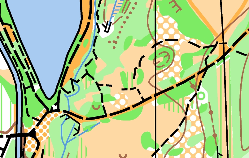 Arrow Valley Country Park, Redditch
Country Park with 900 acres and a mixture of open land and dense woods. 8 maps offering courses of varying length and difficulty; all are GPS enabled. The River Arrow flows through it. The lakeside Arrow Valley Visitor Centre has a café with views across the water and toilets. The park also offers a BMX facility, disc golf, sailing and fishing.
Full details and map downloads are held on the Go Orienteering website.
Maps are also available from the Arrow Valley Visitor Centre.
![]()
A mile long sandy ridge with 6 maps offering courses of varying length and difficulty.
Full details and map downloads are held on the Go Orienteering website.
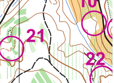 Callow Hill, Wyre Forest
Lovely area of mixed woodland. There are six maps, each with a different course to follow and information about what to do. The courses vary in both length and technical difficulty.
Full details and map downloads are held on the Go Orienteering website.
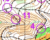 Clent Hills, near Stourbridge
Prominent hill with mixed open areas and woodland. Extensive path network and a mixture of control sites to suit most levels of experience. Cafe and toilets on site. Maps are available from the cafe at Nimmings car park.
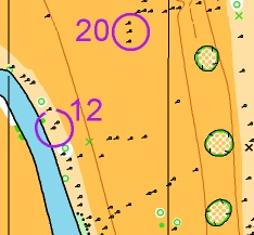 Croome Park, High Green, Worcester
National trust site with parkland surrounding Croome Court designed by ‘Capability’ Brown’.
Full details and map downloads are held on the Go Orienteering website.
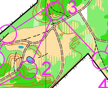 Fibbersley, Willenhall
Reclaimed industrial land turned nature reserve. 5 maps offering courses of varying length and dificulty.
Full details and map downloads are held on the Go Orienteering website.
 Rough Wood, Willenhall
Reclaimed industrial land turned nature reserve. 8 maps offering courses of varying length and difficulty.
Full details and map downloads are held on the Go Orienteering website.
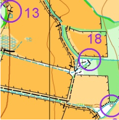 Sandwell Valley, West Bromwich
Large country park with mixed open and densely wooded areas. Map shows all the posts and has some suggested courses of varying length and difficulty.
Full details and map downloads are held on the Go Orienteering website.
Printed maps may be available to purchase from Sandwell Park Farm Visitor Centre. Tel: 0121 5532147
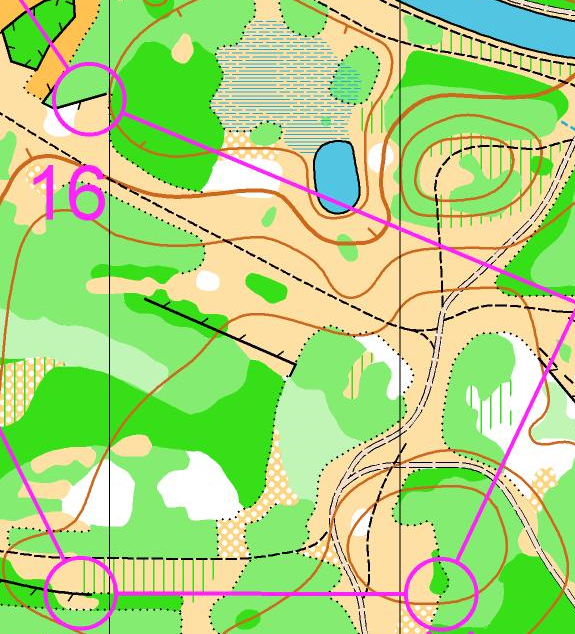 Shire Oak, Walsall
Old sand quarry converted to nature reserve. A compact area with complex contours and extensive path network. 5 maps offering courses of varying length and difficulty. The two shorter, harder courses are GPS enabled.
Full details and map downloads are held on the Go Orienteering website.
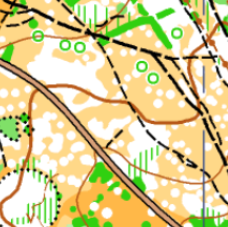 Sutton Park
Sutton Park is a 2,400 acre National Nature Reserve located 6 miles north of Birmingham. It’s one of the largest urban parks in Europe and has open heathland, woodlands, seven lakes, wetlands, and marshes.
Maps are available from Sutton Park Visitor Centre (around 250 metres on the left from the Town Gate entrance) or Big Strides Consulting Ltd. (07714094427) dave@birminghamadventure.co.uk and www.birminghamadventure.co.uk.